


copyright © - 2006 - toloriu@toloriu.com - Llacier S.A. - www.toloriu.com
Toloriu stands 1248 m high, halfway up the Cadí Mountain and at the north-east end of the comarca of the Alt Urgell.
If you don’t come through the air like the eagles flying around us, you should reach the village taking a turn off from the main road N-260 –the Pyrenean axis- between La Seu d'Urgell and Puigcerdà. This small road starts just in the place where in 1982 the river Segre flooded away the old XI century bridge. It is a mountain road, so take your time and enjoy it.
SITUATION
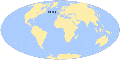
Longitude: 1.6333333 Latitude: 42.3666667
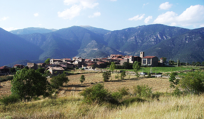 A view of Toloriu.
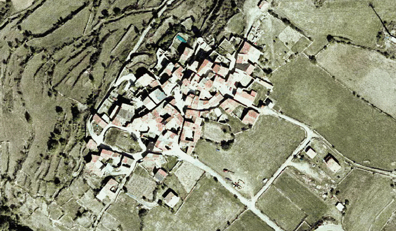 An aerial view of Toloriu